

October 27, 2013
Participants: Peter Gumplinger, Paul Kubik, Doug Lonsbrough, Peter Malacarne
Map of up track: http://www.mappingsupport.com/p/gmap4.php
Map of down track: http://www.mappingsupport.com/p/gmap4.php
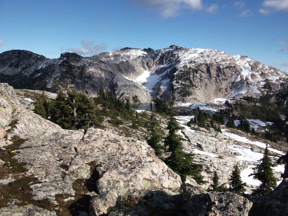 Sigurd Peak and Sigurd Lake from the high point west of the lake.
The club is applying to manage a new hiking and ski mountaineering trail up Pokosha Creek with the destination of Sigurd Lake. It will eventually provide a horseshoe-shaped traverse around the headwaters of Sigurd Creek by connecting with the existing Sigurd Creek Trail, which the club manages.
I contacted a few people that have worked with me in the past both on Pokosha and Sigurd routes. We needed to get a GPS track for the proposal. The weather was almost ideal for the trip. The only downside was the forecast high winds in the alpine but at least it would blow the fog out of the valleys and clear the Salish Sea.
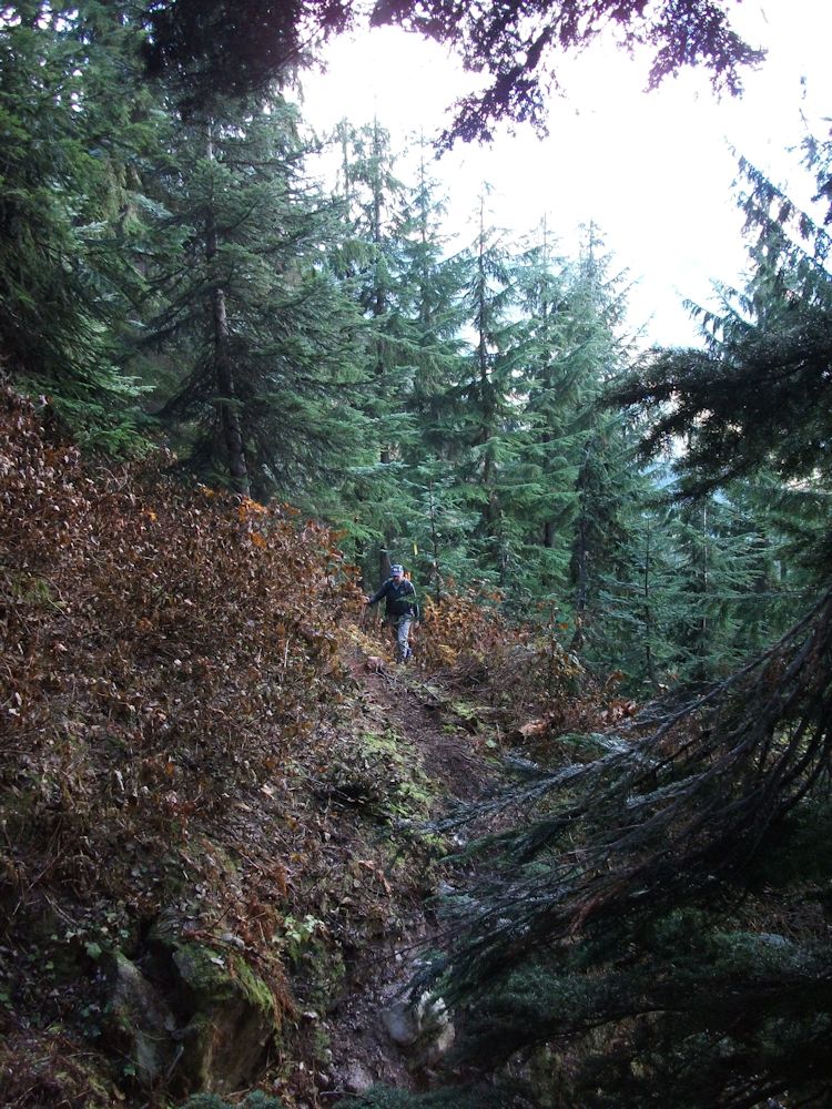
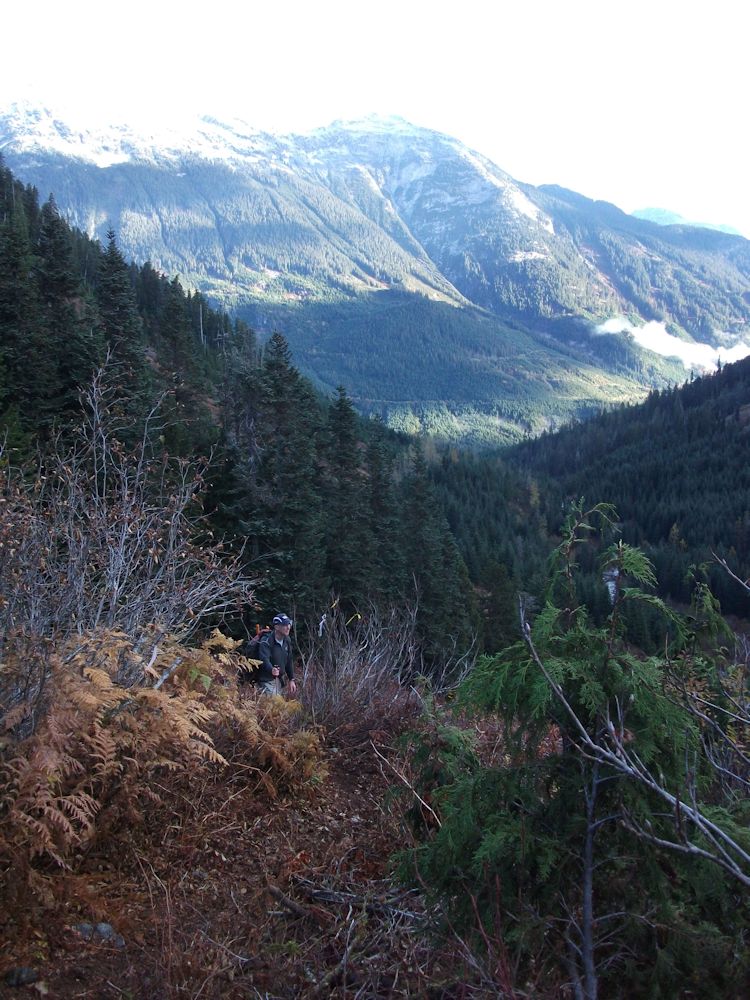
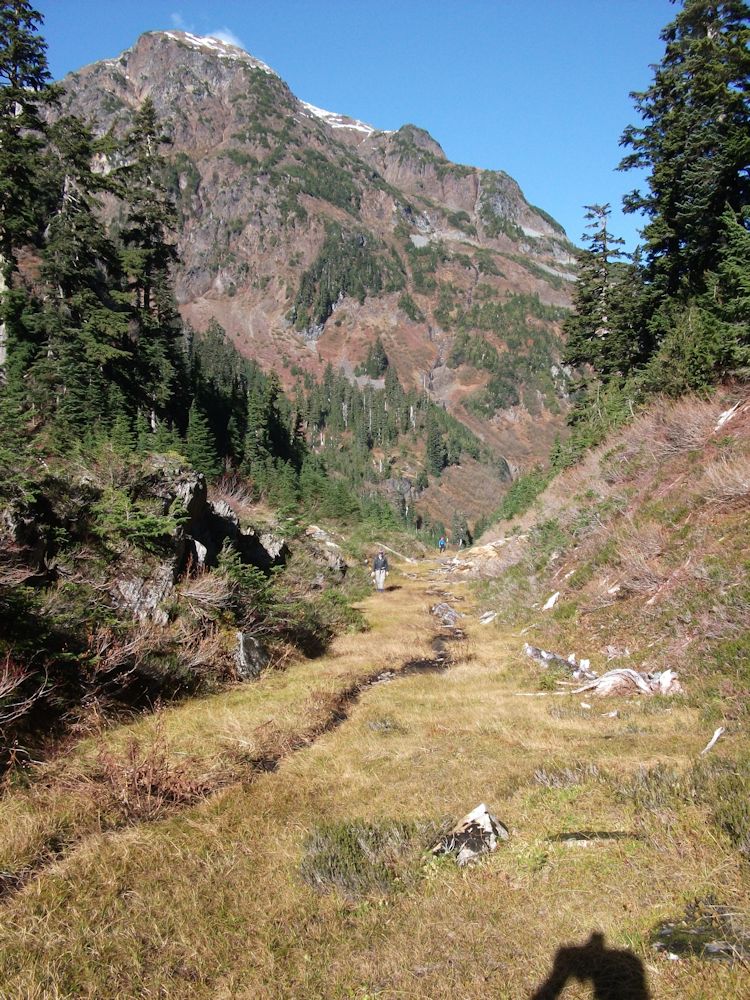
We set off up the brushed out Pokosha Creek road. At the road end a marked and improved trail crosses the major avalanche track off Pokosha Peak's south side. There is also a convenient canyon that effectively blocks motorized access to the area. Across the canyon, the route continues through slide alder to old growth forest. There is some difficult terrain to cross on a steep sidehill before the valley opens up into a broad U-shaped valley. Recent brush clearing makes for a fast climb to the head of the creek.
At the valley head a couple of major creeks (and avalanche tracks) combine to form Pokosha Creek. A final steep climbing traverse of 100 meters brought us to the pass about 2 hours from the vehicle parking. We now had to determine the best route to the lake. Previous forays up the ridge were on skis. It's a different story on foot. We set off up a ridge escarpment but ran into several steep rocky steps. It was not an ideal route for a trail.
We gained the subalpine and continued to the summit high point overlooking the lake. The winds were high with gusts almost knocking you over. A brief summit stop out of the wind was taken and then we started down around 1:40 PM.
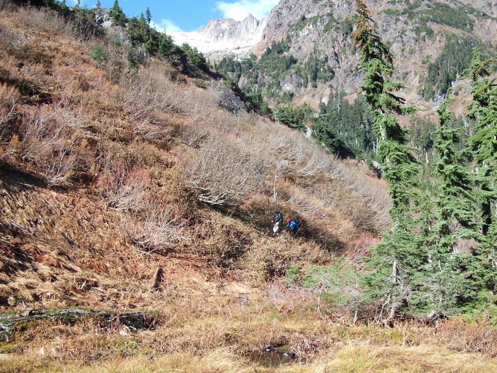
We chose a different route down that brought us into Sigurd headwaters. We were about one kilometer south of our up track but the terrain was a lot better for hiking. We lost a couple hundred meters of elevation from the summit before climbing back to the north to get around a cliff and rock slide above the pass area. There is a landmark rock that I recognized from previous traverses on snow. It is pretty much on the conservancy boundary. From the rock we traversed north to gain open timber. There was a decent route down over benched terrain that was not obvious on skis. We flagged the route down from the landmark rock to the pass and then retraced the route home.
A couple of days later I received a nice surprise. I got some photos from Peter Gumplinger from an overflight he and Silke took on the Monday after our hike. The photos showed the terrain we had traversed and highlighted a couple more options for connecting with Sigurd Trail that we will probably explore next summer.
End of the clearcut.
Across the creek canyon that effectively blocks motorized access. Looking back across Ashlu Creek to Mount Buck.
Headwaters of Pokosha Creek.
Pokosha Pass. A regional fault line creates this feature that resembles a road cut.
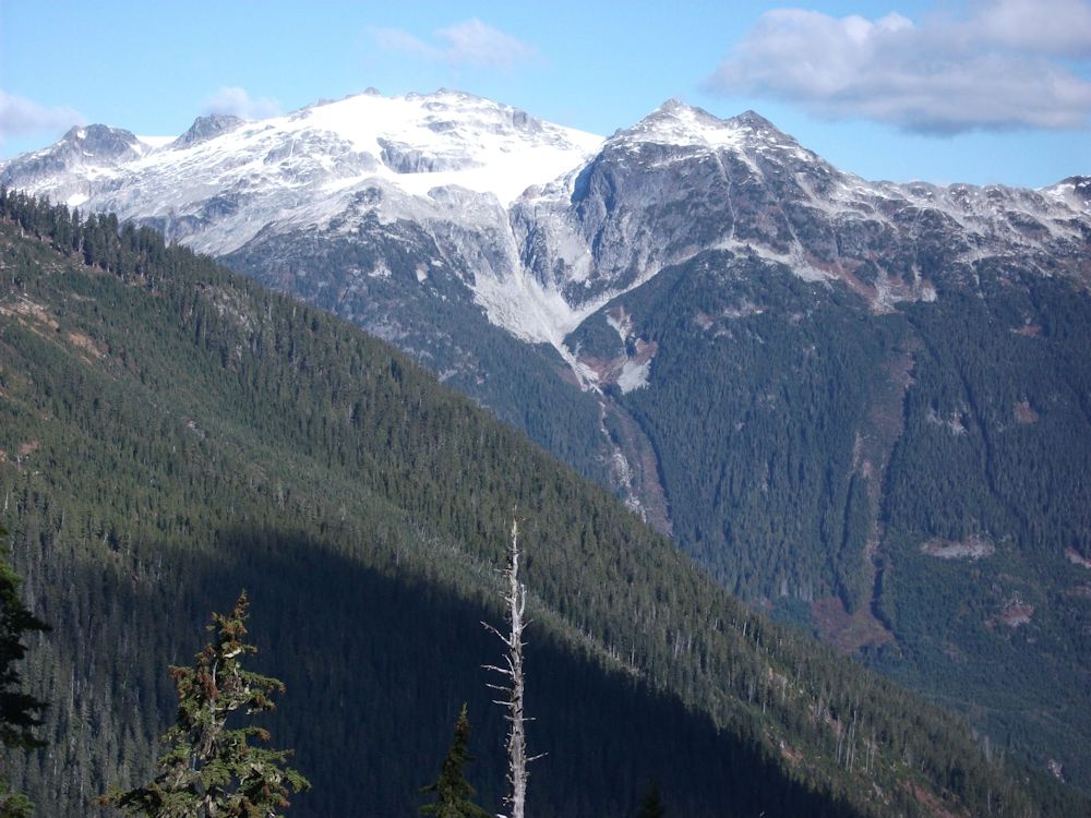
Looking across to Mount Wood and Stuyvesant Gap.
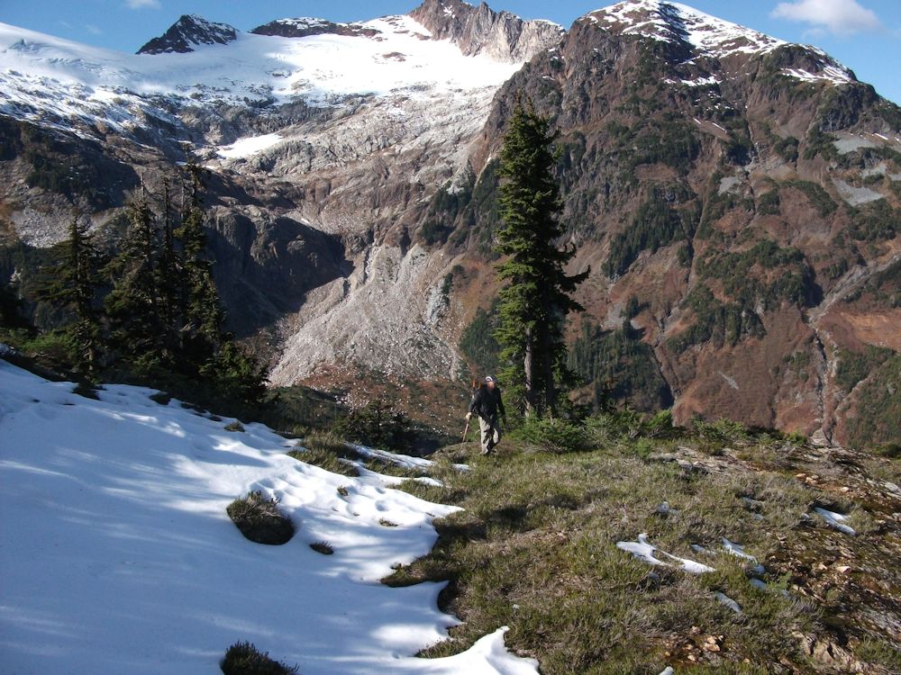
Subalpine area approaching the high point. Looking across towards Jimmy Jimmy (out of sight behind ridge).
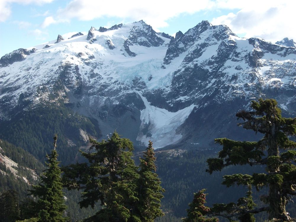
Pelion and Ossa.
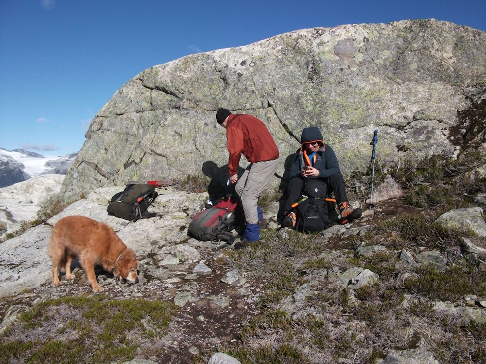
Sheltering from the high winds at the high point.
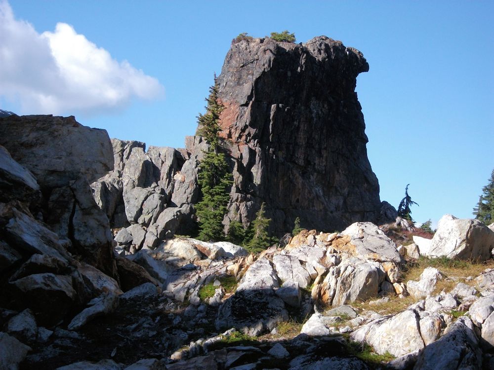
Landmark rock.
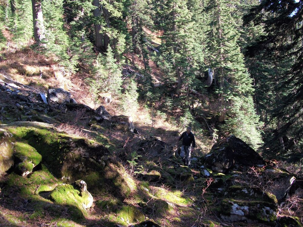
Following benches down to the pass.
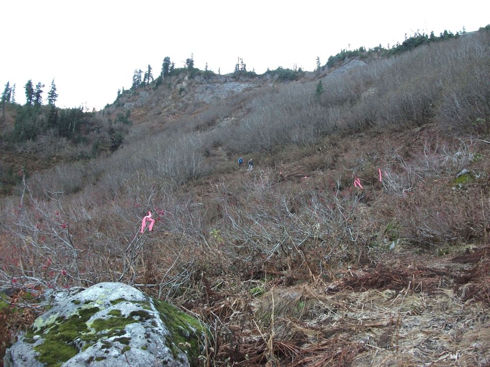
Dropping down the steep section below the pass on the way home.

