

Trip Report
Sigurd Lake Loop
August 27, 2014
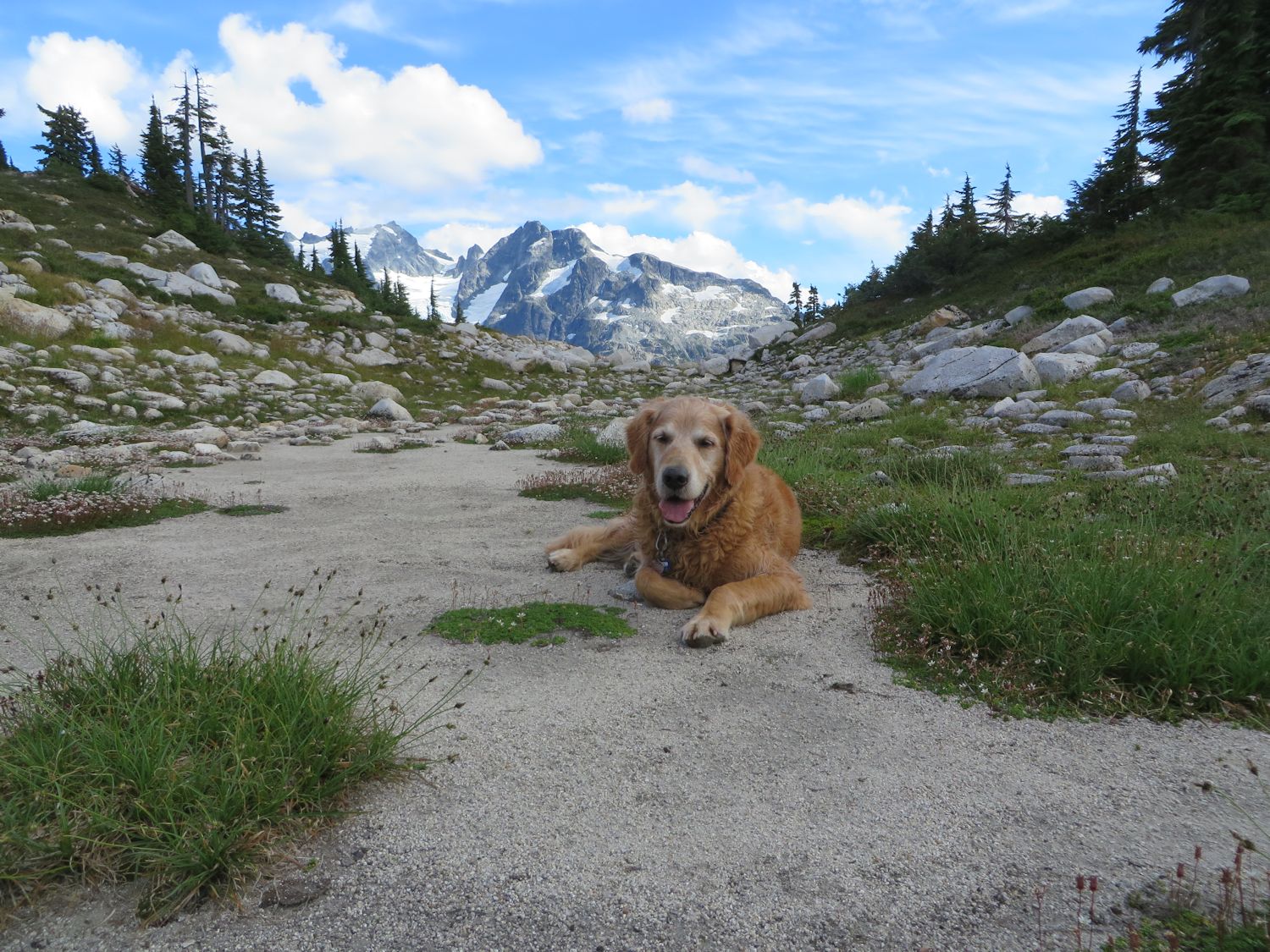
Participants: Paul Kubik and dog Linus
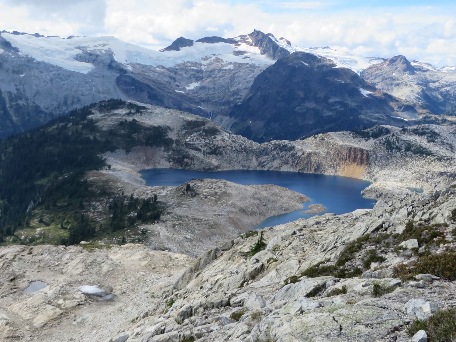
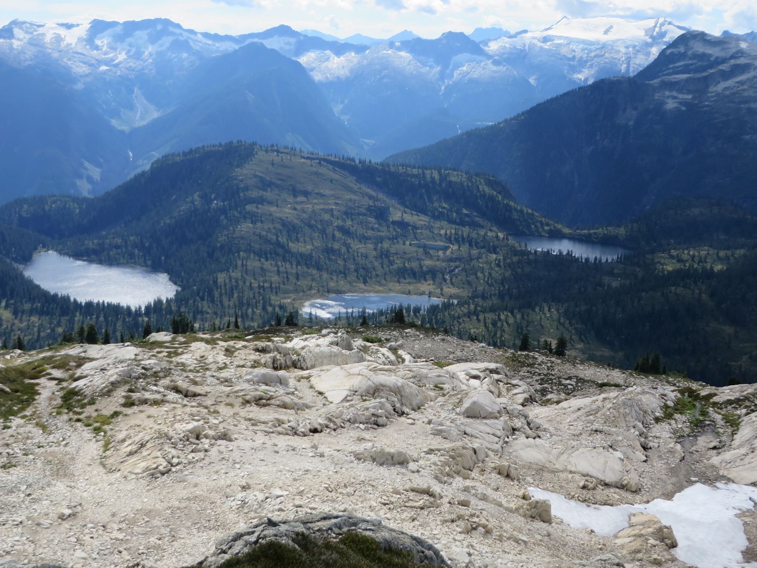
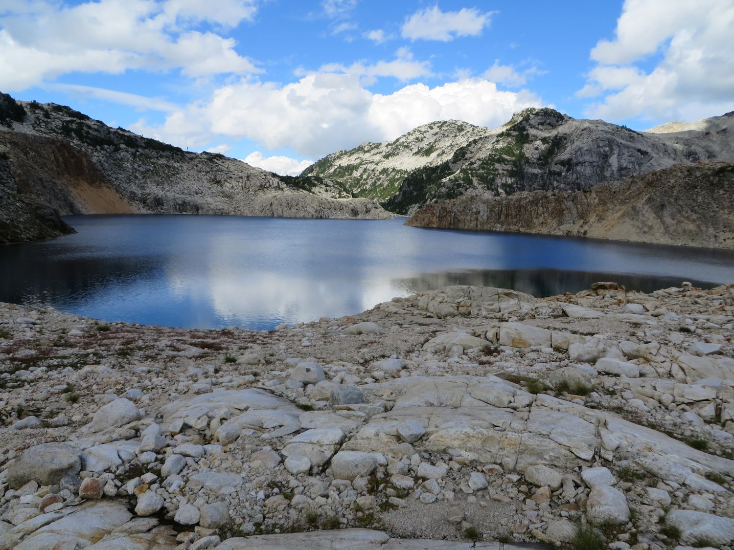
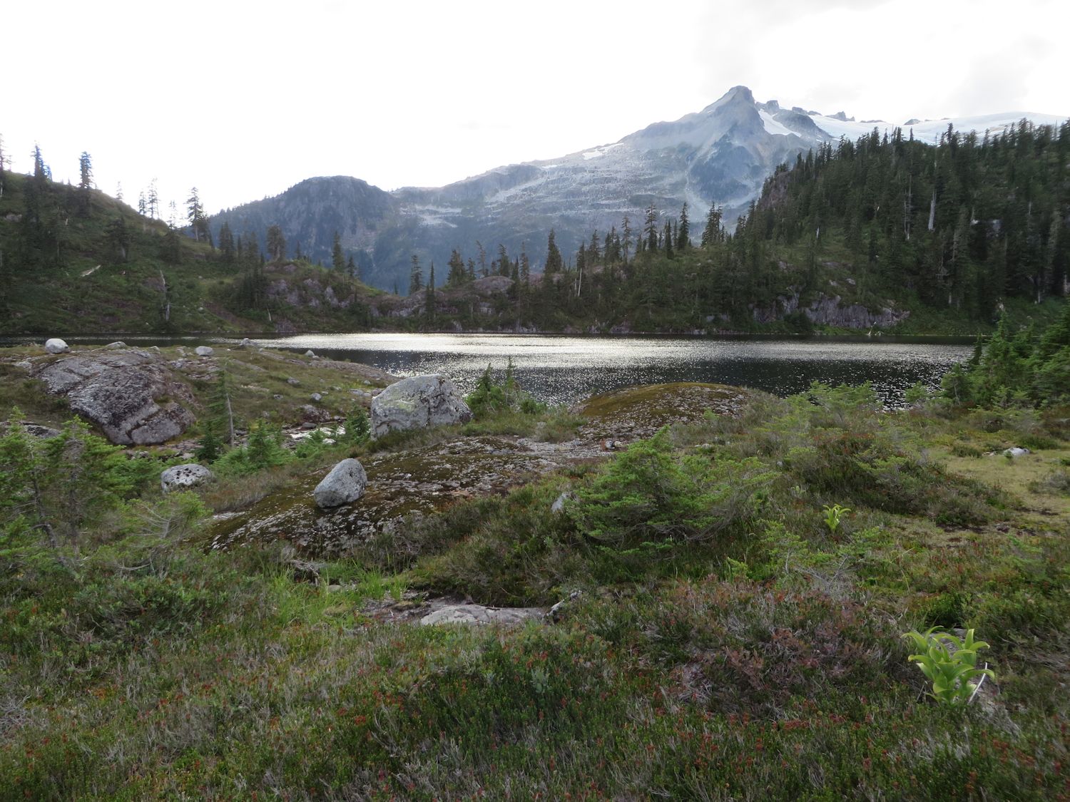
 Sigurd Lake from southeast on the way down from Sigurd W1.
Sigurd Lake loop begins on Sigurd Trail. I followed it to the Rose Trail junction. Rose Trail heads to Sigurd Peak and is named for Rose Tatlow, husband of Hank Tatlow, whom Tatlow Creek is named after. Rose Trail was built by club member Sev Heiberg. Originally, everyone knew the trail as Sigurd Peak trail but it is too phonetically similar to Sigurd Creek trail so we renamed it after Squamish pioneer Rose Tatlow. In fact, Neal Carter's 1964 map of the Tantalus Range names "Sigurd Peak" as "Station Rose". Now that the naming confusion is cleared up you now know I followed Rose Trail to Sigurd Peak.
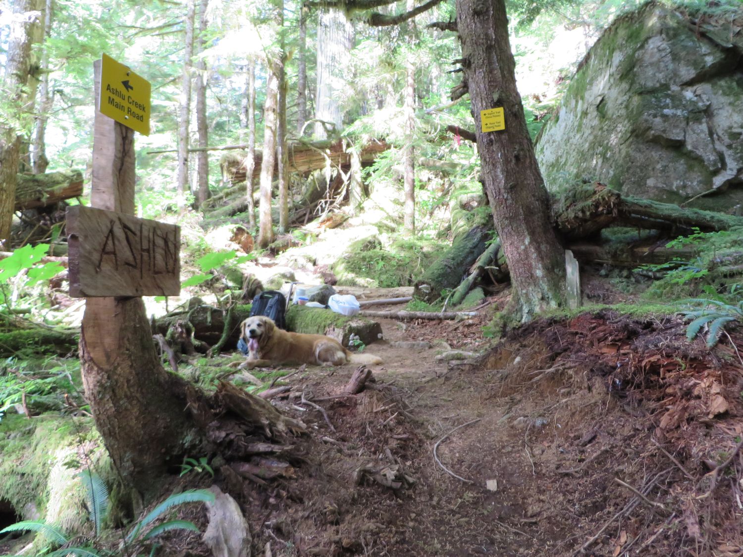 Sigurd Trail-Rose Trail junction. The signage seems like overkill but it is surprising the number of people I hear from who take the wrong trail.
East ridge of Sigurd Peak at the top of Rose Trail.
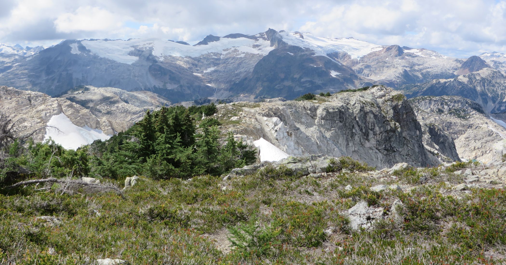
Pelion and Ossa Mountains from just below Sigurd Peak on the east ridge.

Sigurd Peak cairn.
We reached the summit of Sigurd Peak around noon. It was a stiff grunt up the trail. I was sweating profusely but fortunately the dry weather had killed off the bugs so there was nought to complain about. The temperature was just right.
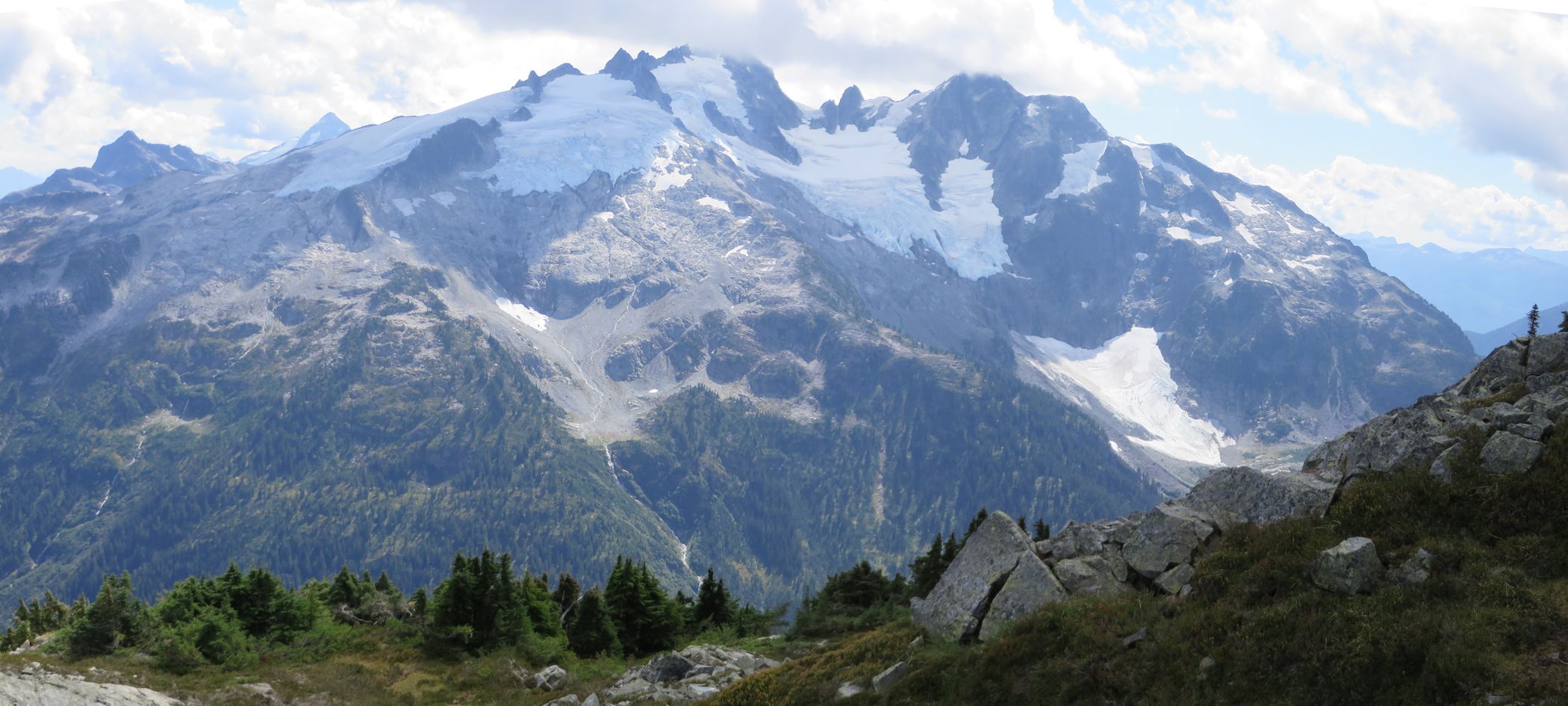
Looking west from the summit ridge to Mount Jimmy Jimmy.
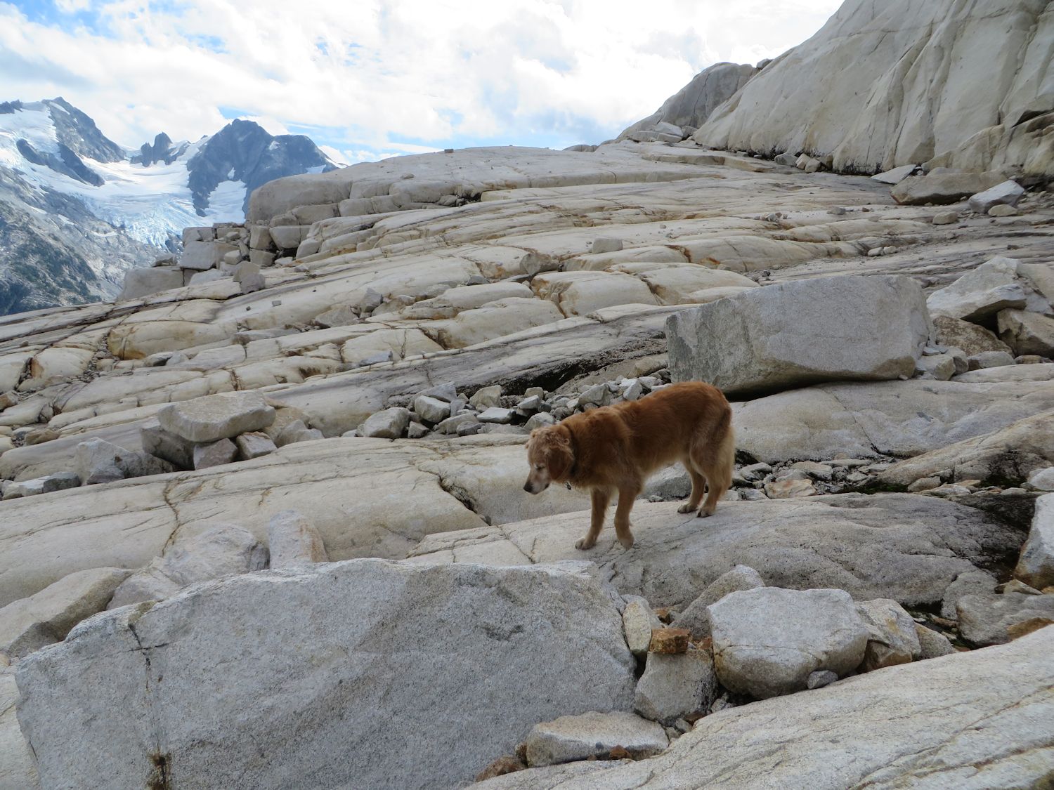
 Sigurd W1.
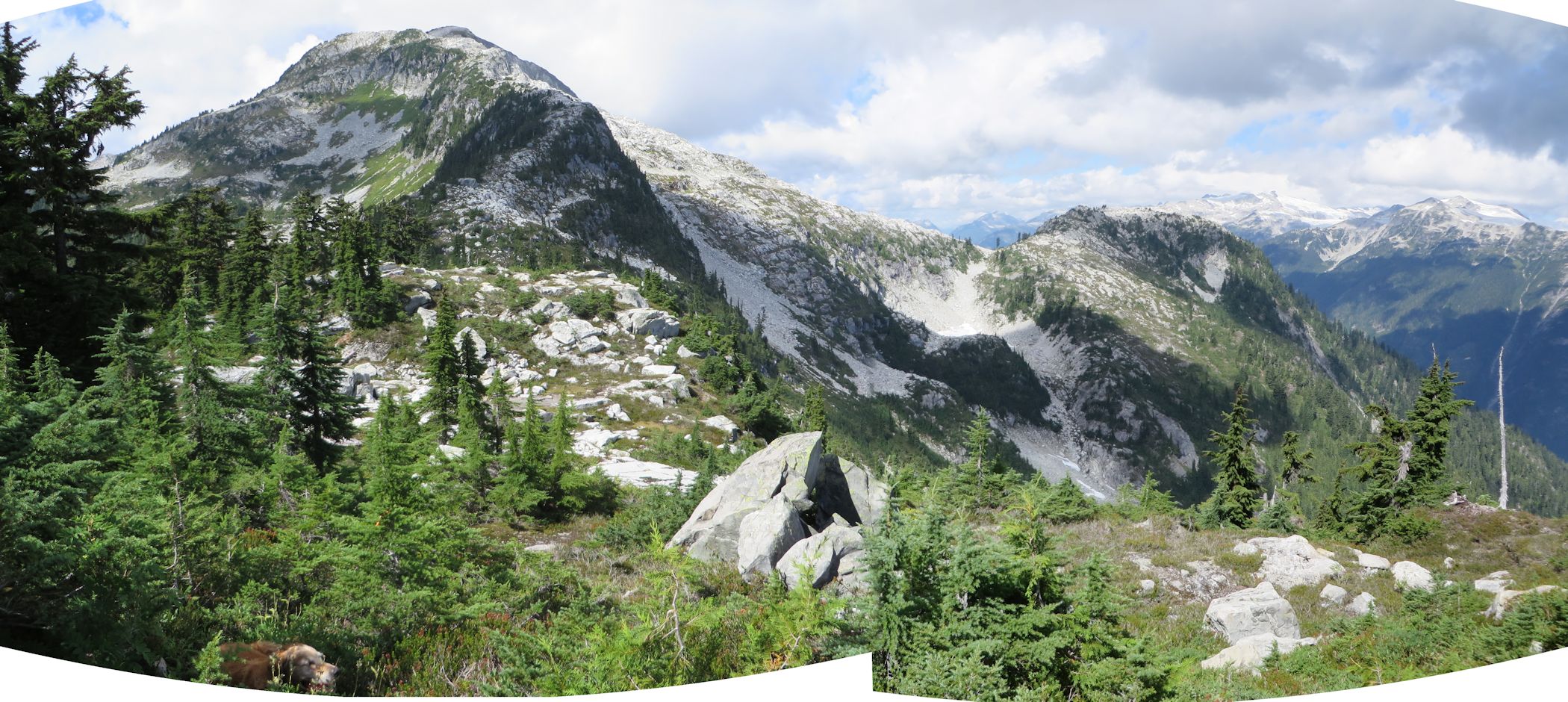
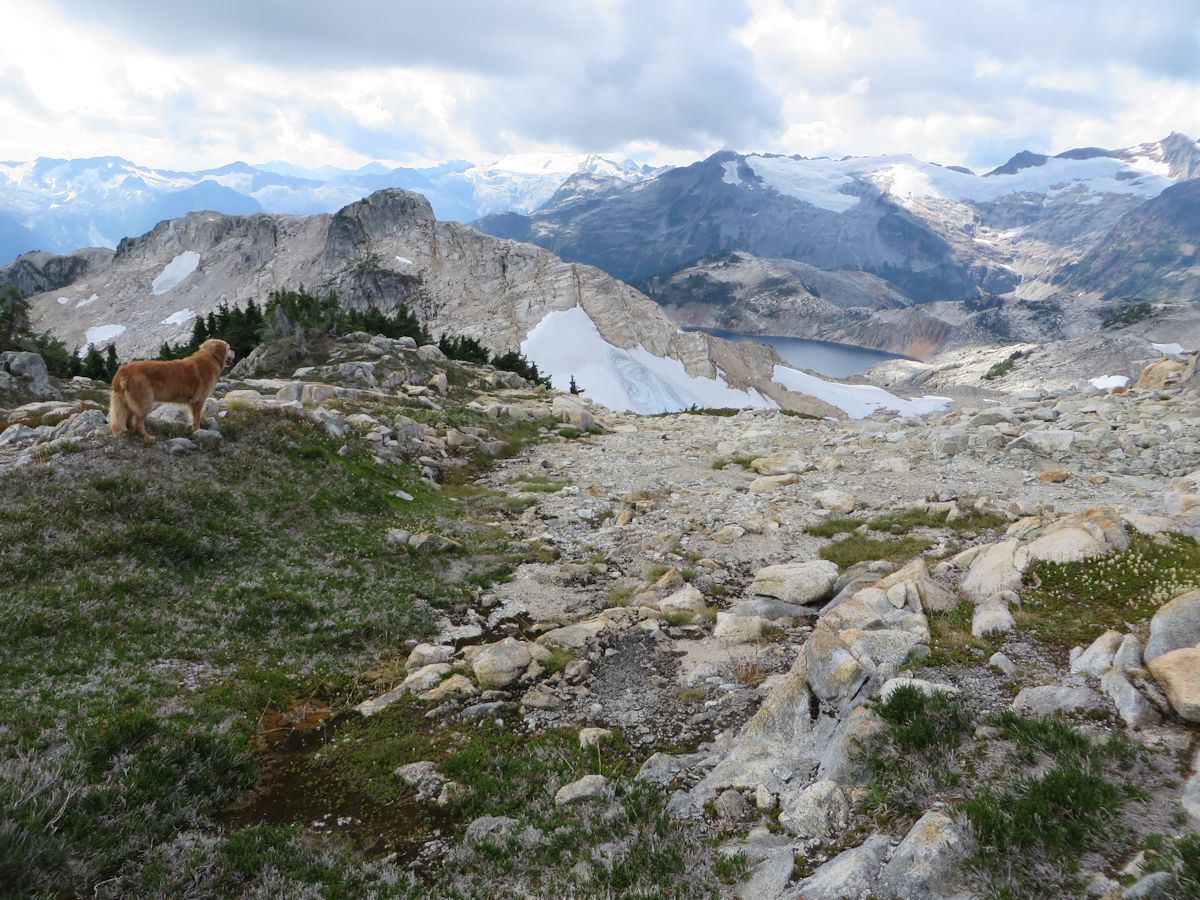
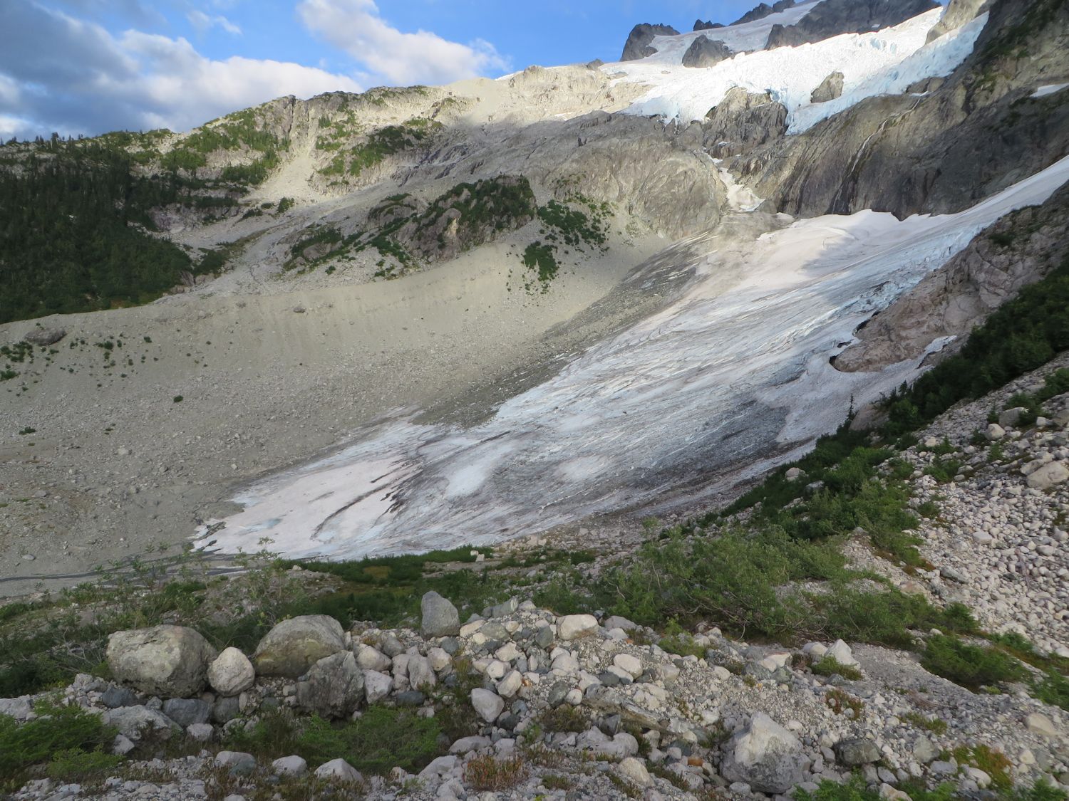
I was anxious to get underway because it was a long way although most of the elevation gain was now behind me. The route follows the west ridge down to the col with Sigurd W1. From the col, it is a beautiful vantage. To the south sits a narrow lake in a granite basin and to the north a small glacier. The route traverses the east side of Sigurd W1 on wide granite benches. It was such a perfect route I kept waiting for some impossible terrain to appear but it never did.
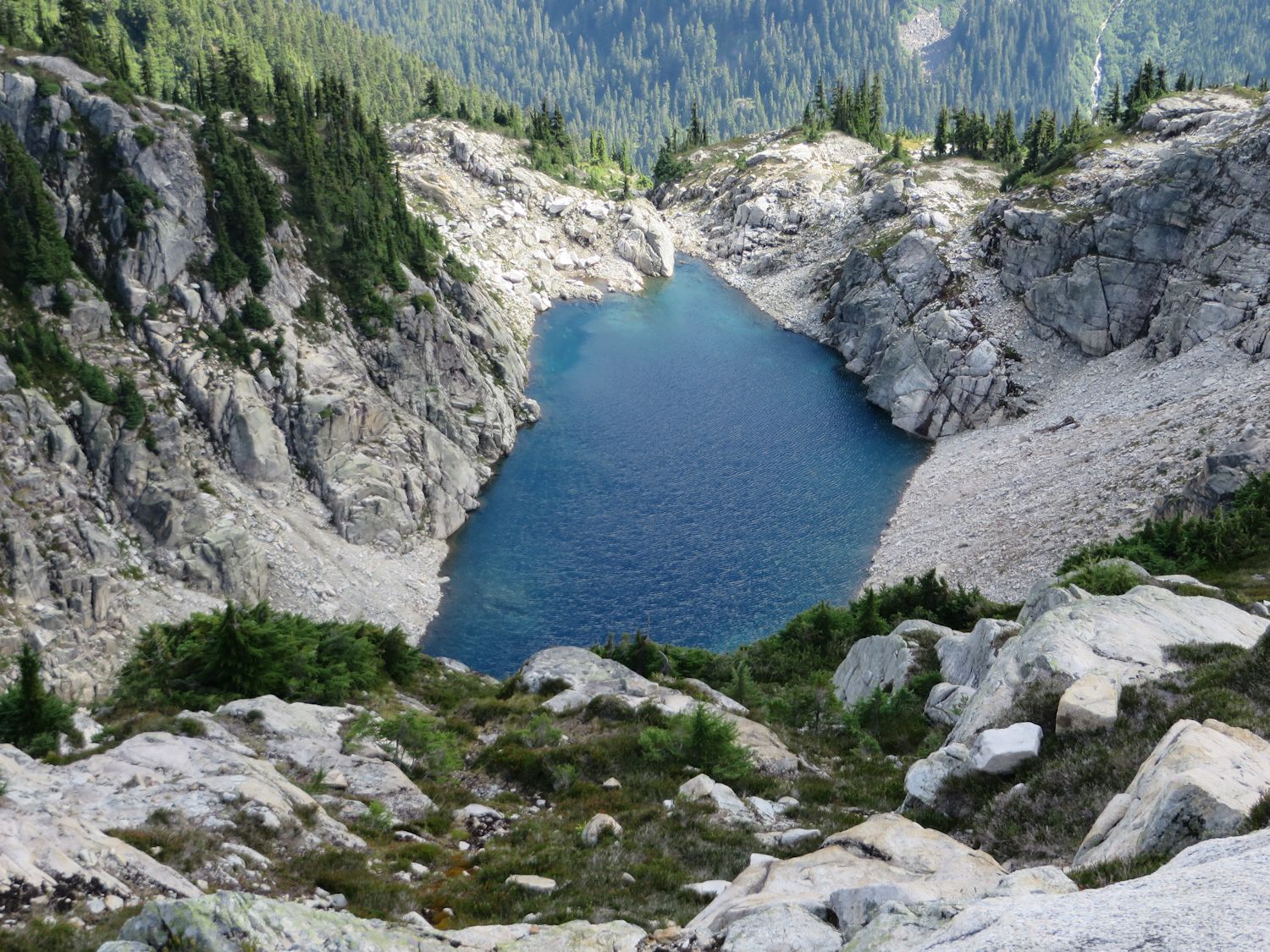
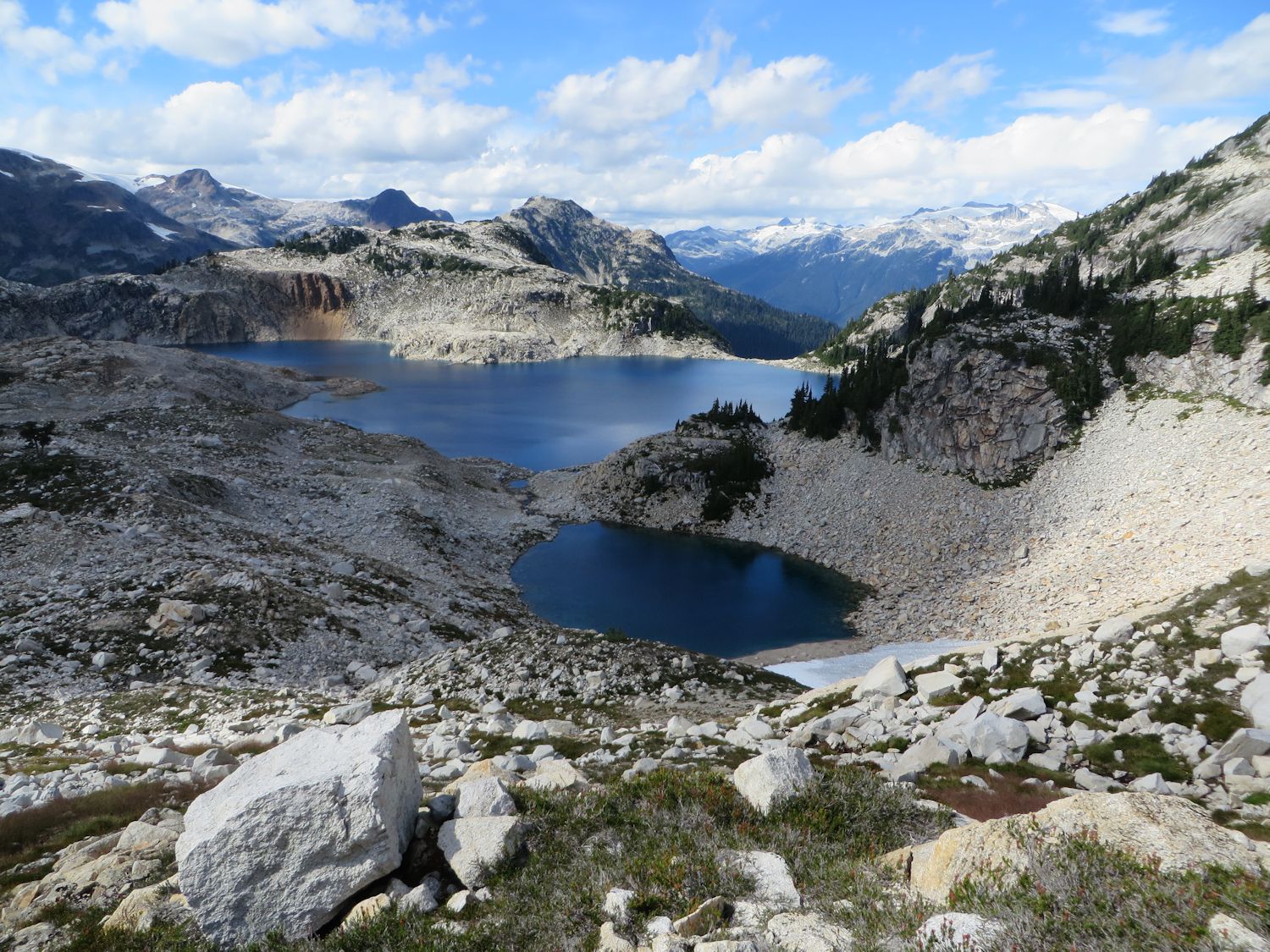
Lake east of Sigurd W1.
Granite benches traversing the east side of Sigurd W1.
First view of Sigurd Lake from south ridge of Sigurd W1.
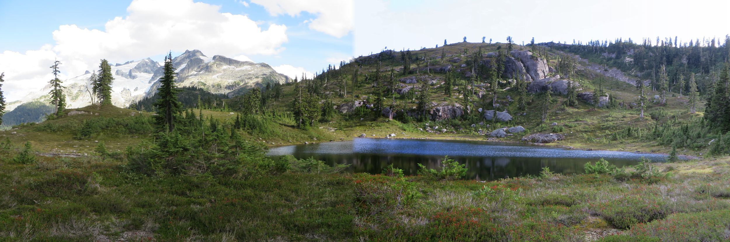
Lakes in the headwaters of Sigurd Creek. It would be another three hours travel before I reached them.
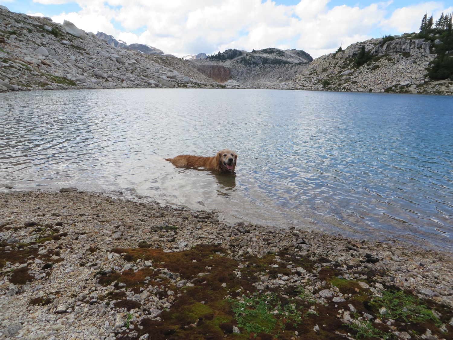
Sigurd Lake outlet draining north into Pokosha Creek. We visited the small lake in the foreground. There is camping along the beach below the snowfield.
Sigurd Beach and possible low-impact campsite.
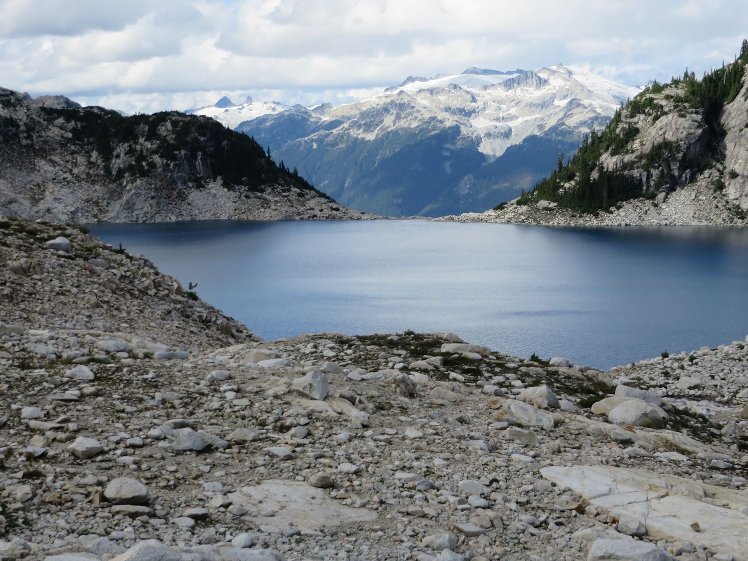
Sigurd Lake outlet and Mount Charlie Charlie in the distance across Ashlu Creek.
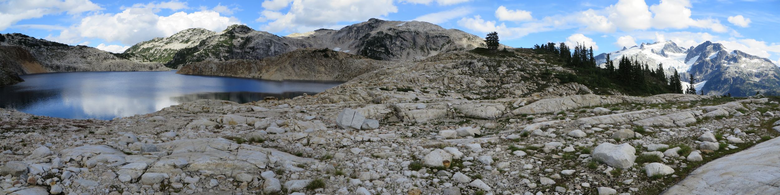
Sigurd Lake panorama. Looking back the way we came. Pelion and Ossa Mountains far right.
Grus (granitic pebbles and sand) outwash.
A last look at Sigurd Lake. Still moving away from the Sigurd trailhead.
One could ramble aimlessly on the granite slabs for hours. It was foremost in my mind though that I was still moving in the direction away from the trailhead and now it was after 3 PM. I had daylight only until around 8 PM. The terrain immediately south of the lake is steep and cliffy so I had to continue west and climb one more summit west of the lake. From there I knew moderate, straightforward terrain leads easily into Sigurd Creek headwaters. A bit of routefinding brought me to the summit and then broken ground over more granite, gravel and small tarns brought me above the final plunge to the headwaters. It was not bad terrain nor too bushy although, it was around 5 PM by the time I descended to the highest lake in the headwaters. The sun had now sunk behind the Jimmy Jimmy massif. The last difficulty was reaching the Sigurd Creek trail tail. There was no marked route but I knew the way well enough. I visited two or three more lakes before the climb up to the moraine camp below Pelion's northwest shoulder. I must have lost focus at one point because I ended up in steep bushy terrain which was all wrong. The climbing should have been more open. After this misfortune I was able to regain the better route. The dog had cut a paw on some rocks somewhere and the traverse of the rock slide and moraine did not help any. Once on the trail proper things improved. Around 7 PM we reached the the footbridge. Darkness overtook me shortly after and the headlamp came on for the last couple hours out.
Sigurd headwaters. Finally, heading in the right direction for home.
Upper lake in Sigurd headwaters.
Biggest lake in Sigurd headwaters.
Moraine camp.
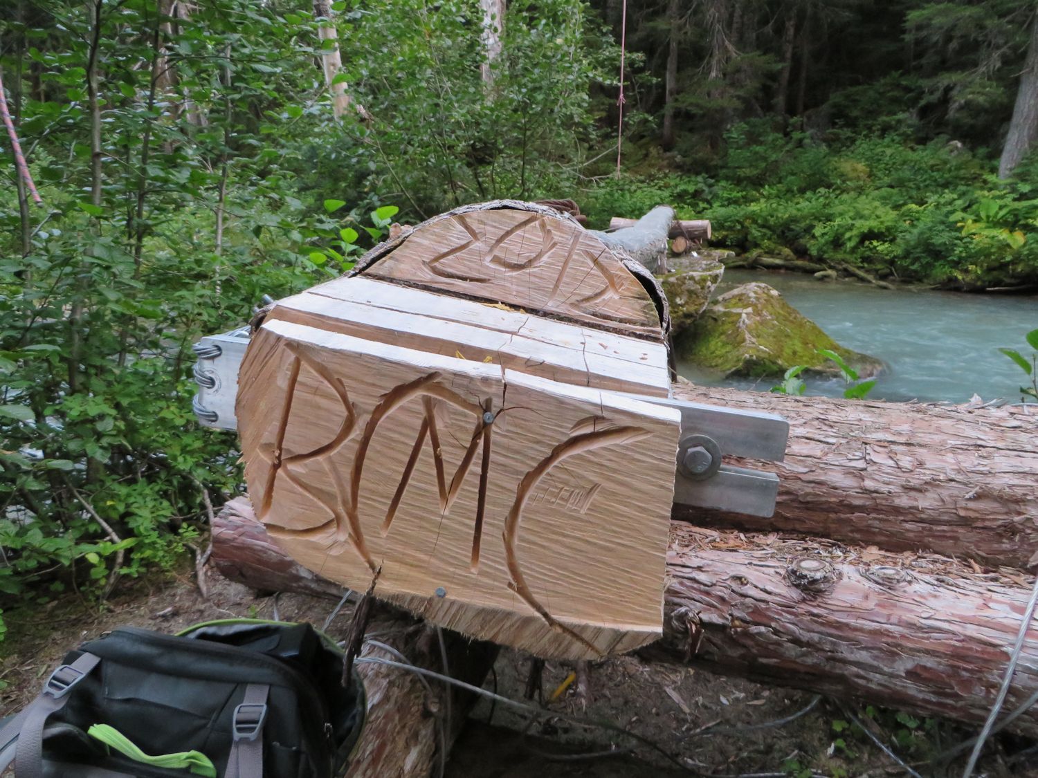
Sigurd Creek footbridge (rebuilt 2012).
Photos
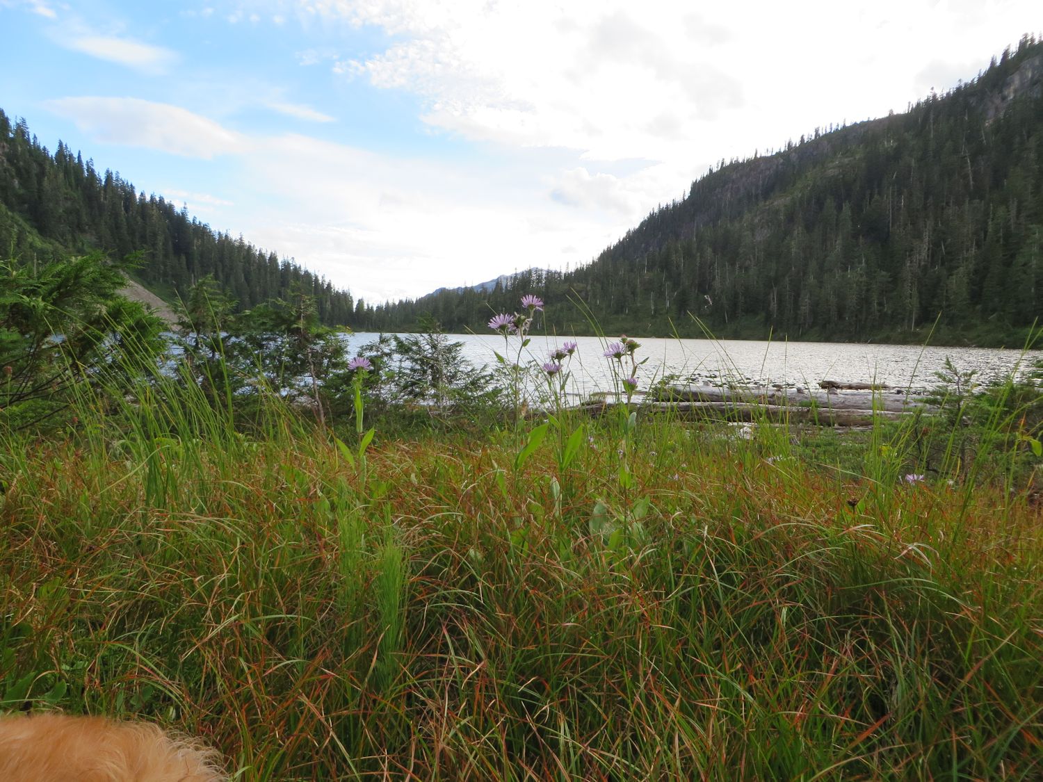
First look at Sigurd Lake

Trip Reporter

| Trip Report Title | Sigurd Lake Loop |
Rate Trip Report
2 votes
Comments
Order by:
Per page:
- There are no comments yet
Related Reports
Climbed to the summit under ideal spring conditions
Wet and fun day in late winter conditions
6 amazing BCMC climbers summited Mt Baker under challenging travel conditions
Backcountry skiing to the ridge